Taj Mahal
1996 World Monuments Watch
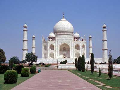
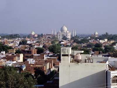
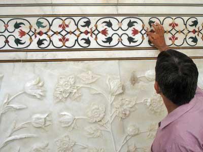
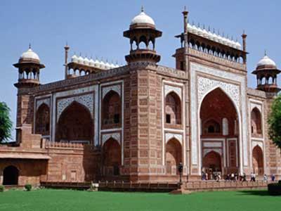
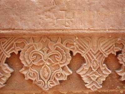
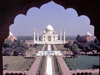
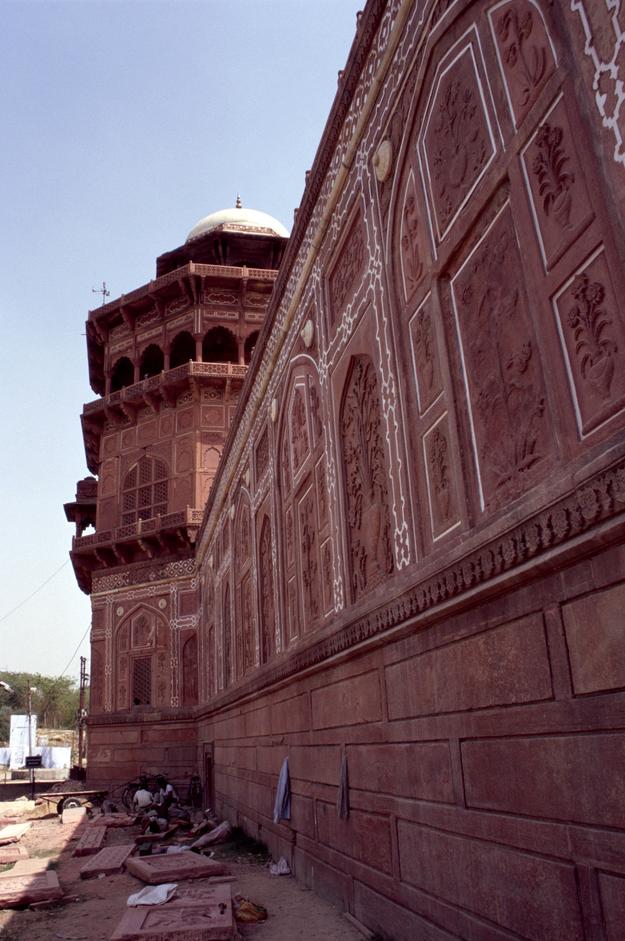
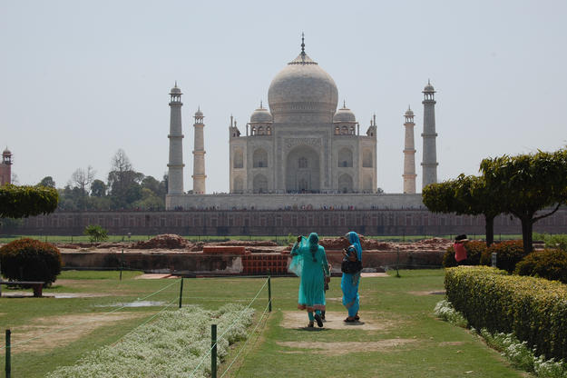
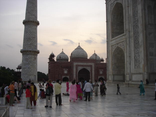
The Taj Mahal is a white marble mausoleum built by Emperor Shah Jahan for his second wife, Mumtaz Mahal, who died in childbirth in 1631. For the story behind its construction, it is axiomatic to say that it is one of the greatest monuments to love ever built. Thousands of workers labored for over 20 years on the building, embellishing it with outstanding decorations including white marble screens and pietra dura inlay with semiprecious stones. At over 200 feet (60 meters) tall, the structure is the tallest Mughal tomb ever built and is considered to be the single greatest work of Mughal architecture. It is the centerpiece of a sprawling complex of buildings, courtyards, gardens, and waterways on the edge of the river Yamuna in Agra. Most of this original landscape is intact.
The Taj has long been recognized for its outstanding beauty and architectural merit, and has been a UNESCO World Heritage Site since 1982. It is one of the national symbols of India and receives millions of visitors every year. As with similarly famous, popular, and fragile sites around the world, this huge influx of tourists imperils the physical fabric of the monument. In addition, although new industrial development in Agra has been banned and only non-polluting vehicles are allowed near the Taj, environmental degradation is still a major concern for the conservation of the mausoleum and the structures that surround it. In 1996 in a historic judgement the Supreme Court of India ordered measures to preserve and protect the environments of Agra to safeguard the Taj Mahal’s marble façade. The Taj Mahal was included on the 1996 World Monuments Watch to call attention to the urgent need for a comprehensive site management plan to create a framework for ongoing maintenance, tourist management, security, and improved interpretation of the site. The Court judgement quoted the World Monuments Watch in the preamble to its judgement highlighting international concern for the site.
Experts collaborate to protect an icon
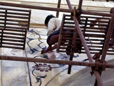
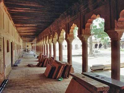
In 2001, WMF was invited to join a panel of advisors to guide the development of a site management plan and enhanced visitor facilities including the restoration and reuse of the Fatehbad and Fatehpuri courtyards for visitor amenities. In recognition of the need to have state of the art documentation systems, in 2005 funds from the Robert W. Wilson Challenge to Conserve Our Heritage provided support for the development of a Geographic Information System (GIS) survey of the site. WMF, in partnership with the Archaeological Survey of India and others, completed surveys of the main concourse as a pilot project. Experts from Italy worked together with a local team to complete documentation that was utilized for the restoration of the central walkway, which was seen as the most extensively used part of the site. This project established the basis for future documentation of the Taj Mahal and provided much needed technology to manage the immense amount of data, which would need to be generated over time.
In 2012, WMF and the Archaeological Survey of India launched a new initiative, the Mughal River Front Gardens of Agra, focusing primarily in its early phases on Mehtab Bagh and I’timad-ud-Daulah. The work includes evaluation of past records, creation of GIS maps, mapping of the garden’s historic water system, and conservation planning.

