Route of Santiago de Compostela
2010 World Monuments Watch
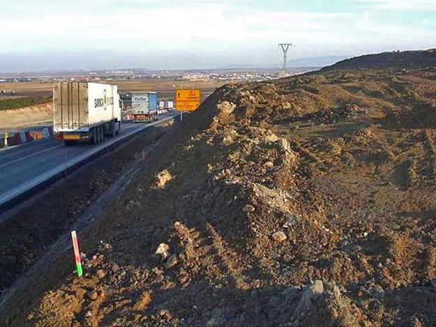
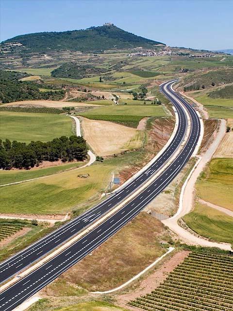
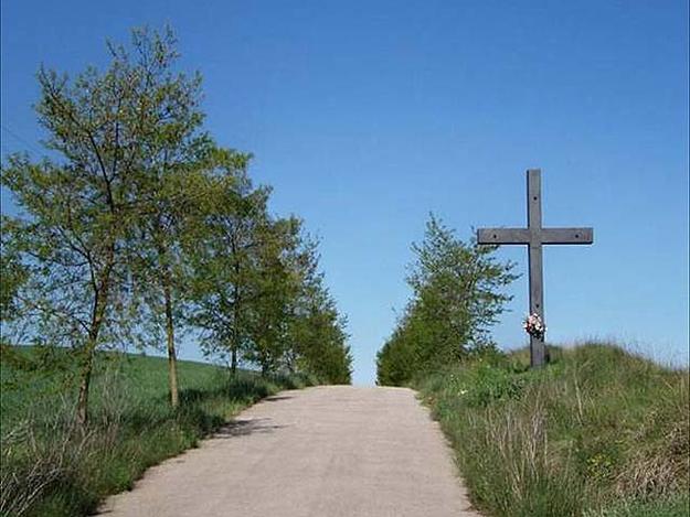
Between the years A.D. 820 and 830, a tomb attributed to the apostle St. James was discovered in Iria Flavia (Galicia), which gave rise to one of the main routes of pilgrimage for Christians from all over Europe. The Route of Santiago de Compostela is traced in the 12th-century Calixtino Codex, which chronicles the 500-mile (800-kilometer) route stretching across Spain from the Pyrenees to the Atlantic coast. In addition to the local monarchs and knights of military orders that protected pilgrims, numerous monasteries, churches, hospitals, and bridges were established in order to facilitate the movement of these travelers. The surviving cultural heritage along the route is immensely rich and chronicles architectural history from the birth of Romanesque art to the first Gothic cathedrals and monasteries to the urban development of towns and cities. Along the Route, which today crosses 5 autonomous communities and 166 towns and cities, are more than 1,800 protected, culturally important historic and artistic sites. Despite its remarkable survival, construction of a new major highway will cause irreparable physical, environmental, and scenic destruction to the Route of Santiago de Compostela at different points along its path. Alternative highway routes have been proposed in an effort to preserve the integrity of this historic corridor and landscape. Despite these efforts, initial construction has already destroyed 3 miles (4.9 kilometers) of the fabled Route near Santo Domingo de la Calzada.


